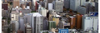
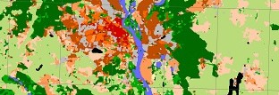
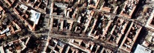
The World Urban Database and Access Portal Tools project is a community-based project to gather a census of cities around the world. Come join us!

Classify your city

Use the LCZ Generator to create an LCZ map of your city

Read More

The overall aims of WUDAPT are to:

  • to acquire and make accessible coherent and consistent descriptions and information on form and function of urban morphology relevant to climate weather, and environment studies on a worldwide basis,
  • to provide a portal with tools that extract relevant urban parameters and properties for models and for model applications at appropriate scales for various climate, weather, environment, and urban planning purposes

Its guiding principle is to generate “fit for purpose” urban data using a globally consistent methodology, and publicly accessible input data and tools. Products created from this process are shared across multiple communities and platforms.

For WUDAPT to work, we need to build a community of interested urban experts and interested researchers who will take active part by:

  • developing training materials to classify your city into LCZs
  • contributing your LCZ map to WUDAPT via the LCZ Generator
  • helping us to collect other open access urban canopy parameter datasets.

For more information, read our paper Ching, J., Mills, G., Bechtel, B., See, L., Feddema, J., Wang, X., … Theeuwes, N. (2018). WUDAPT: An Urban Weather, Climate, and Environmental Modeling Infrastructure for the Anthropocene. Bulletin of the American Meteorological Society, 99(9), 1907–1924. https://doi.org/10.1175/BAMS-D-16-0236.1

If you want to get involved, email us at .