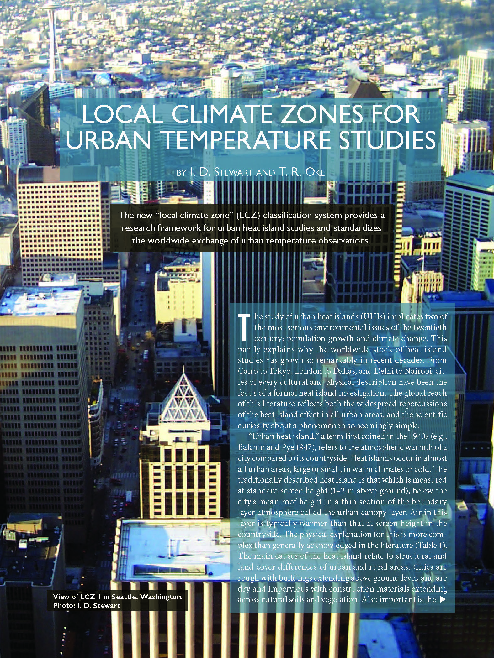
Overview
Until recently, there was no universal approach to describe and characterize the physical nature of cities for urban climatologists — much of the existing terminology was not transferable across cultural and geographical regions. To address this problem, and in particular to help standardize methods of observation and documentation in urban heat island studies, Stewart and Oke (2012) developed the Local Climate Zone (LCZ) classification scheme. The scheme comprises 17 zones based mainly on properties of surface structure (e.g., building and tree height & density) and surface cover (pervious vs. impervious). Each zone is local in scale, meaning it represents horizontal distances of 100s of metres to several kilometres. The scheme is a logical starting point for WUDAPT’s aim to gather consistent information across cities globally.
Watch this introductory video lecture to the Local Climate Zones scheme by Iain Stewart
Stewart ID, Oke TR. Local Climate Zones for Urban Temperature Studies. Bull Am Meteorol Soc. 2012;93(12):1879-1900. doi:10.1175/BAMS-D-11-00019.1
LCZ components
The LCZ framework combines four components of the urban landscape:
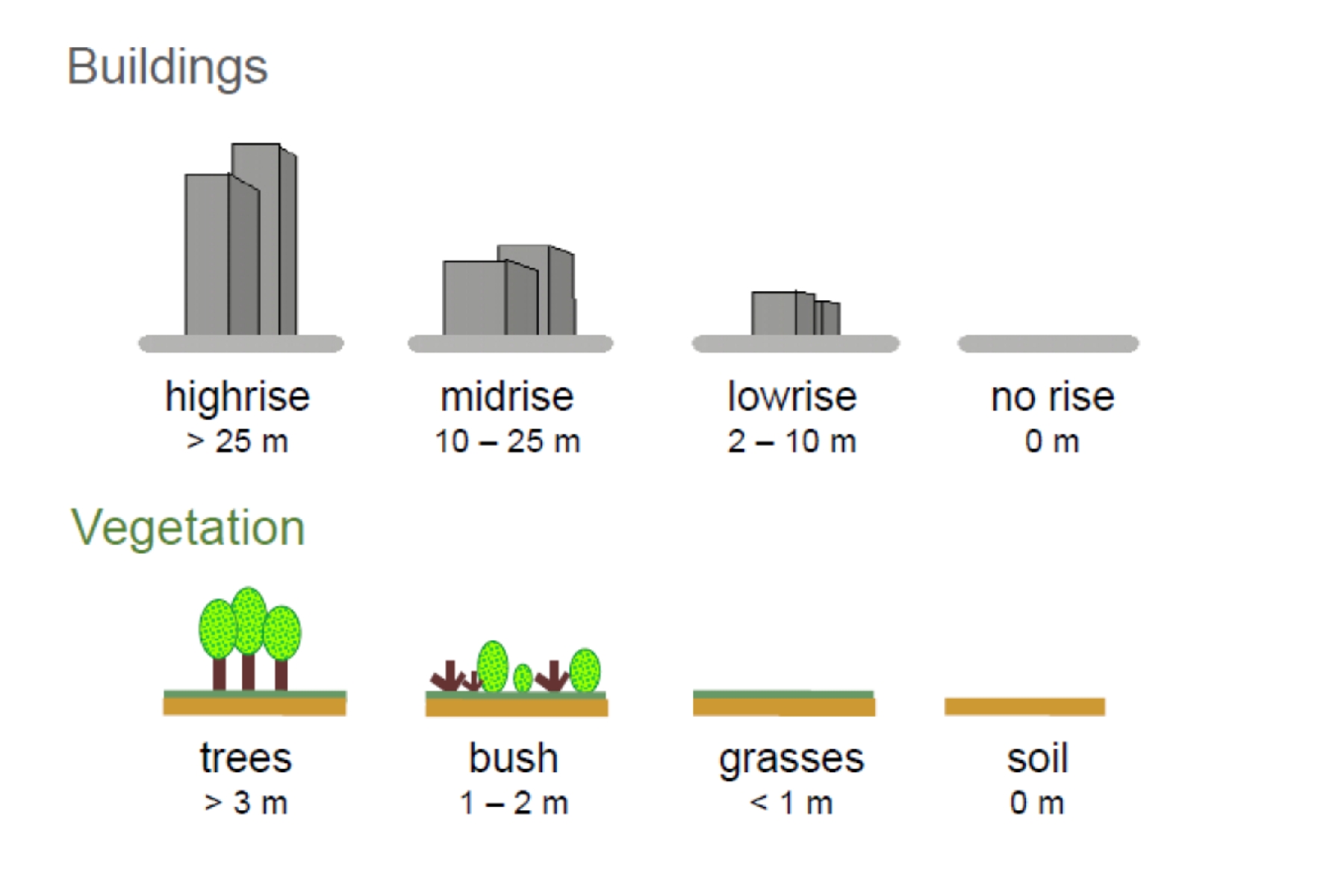
Component 1: Height of Roughness Features
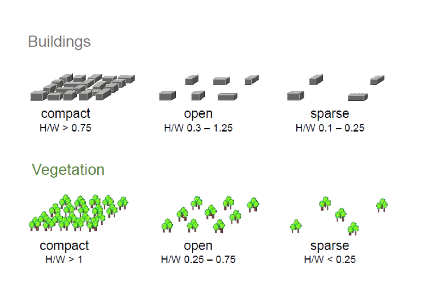
Component 2: Packing of Roughness Features
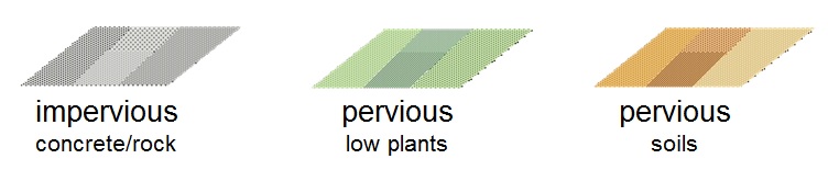
Component 3: Surface Cover Around Roughness Features
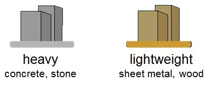
Component 4: Thermal Admittance of Materials
Source: Stewart, I.D., 2011. Local climate zones: Origins, development, and application to urban heat island studies. Paper presented at the Annual Meeting of the American Association of Geographers. Seattle, USA. April 12-16.