In this step you will learn how to download freely available Landsat 8 imagery for the city of your choice.
- Open the USGS Earth Explorer website by clicking here.
- If you already have an account, log in. Otherwise you will need to register first.
- Once logged in, enter the name of the city that you wish to classify into the Address/Place search bar. Select the city that you are interested in from the search results.
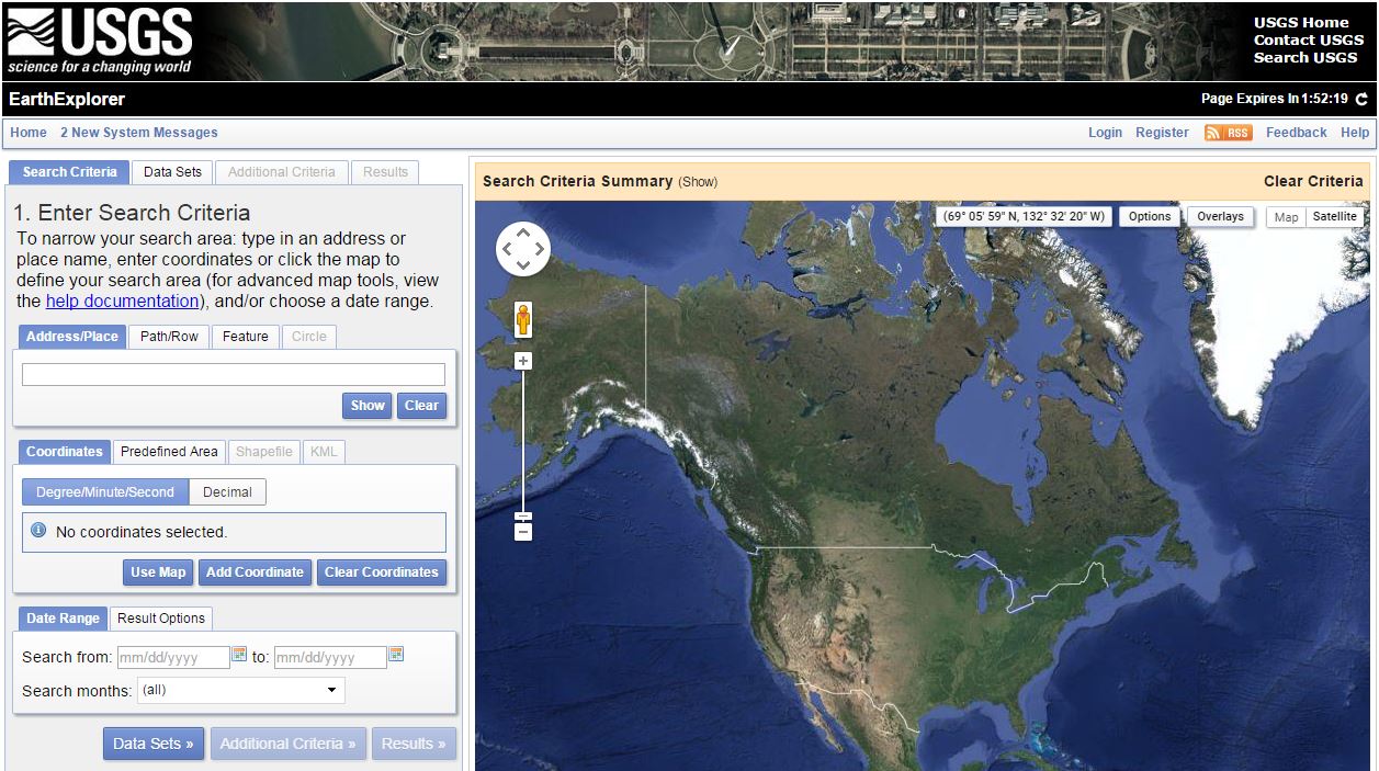
USGS EarthExplorer Interface
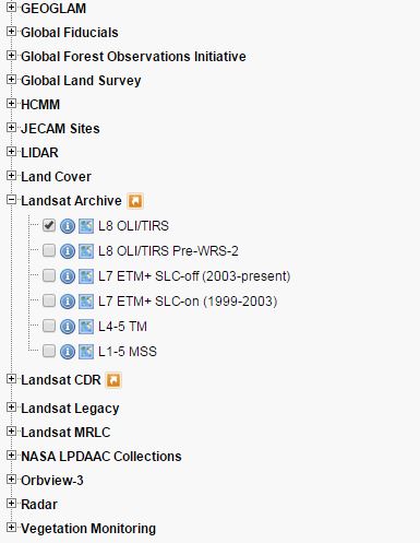
- Within the Data Sets tab, locate and tick the Landsat 8 data set. Then open the Landsat Archive folder: Landsat Archive -> L8 OLI/TIS as shown below.
- Within the Additional Criteria tab, set: Cloud cover to Less than 10% and Day/Night to Day. Leave all additional settings as defaults.
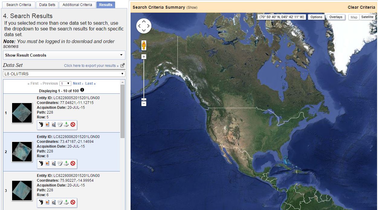
- Proceed to the Results tab. You can display the footprint and the image of each scene on the map, clicking on the icons above it.
- From here, select and download suitable Landsat scenes as free from cloud cover as possible. If available, chose 3-5 scenes from different seasons (e.g. summer, winter and spring). Avoid the use of scenes in which cloud cover is present over the area of interest. Download the scenes by clicking on the download button (small green arrow). Make sure you select the Level 1 GeoTIFF Data Product.
- If unable to find appropriate scenes, return to the Additional Criteria tab and change the Cloud cover option. Then check the results and repeat if necessary. Alternatively, you can also look for Landsat 5 data (gap free Landsat 7 data are usually only available prior to 2003).
- Once you have downloaded the imagery that you need, move onto Step 3a. If you encountered problems with this step, please contact us.